There can be no doubt that the way we plan a certain trip and the best route to take, has changed. Sunday drives, when I was a child, taught me where back roads went and that many times, the distance between two points could not be judged best based on a map. When satellite navigation became accessible in the 1980s I was converted to it early and avidly.
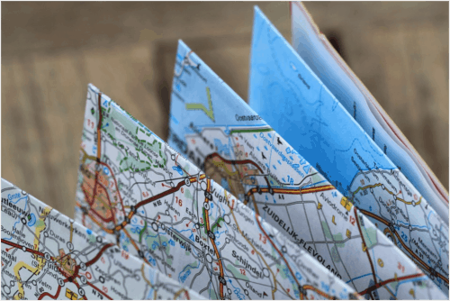
Hardly anyone uses maps anymore. Although not completely gone, maps are becoming rare to find and expensive to buy. Gas stations no longer give them away.
The steady progression from the paper maps we used in my youth and young adulthood gave way to GPS navigators and then to smartphone apps that all do the same thing as maps did and, in most cases, do it better and with more features.
Planning a route on a paper map meant drawing lines and checking mileage against the legend. Rough estimates were easy to do, but there was always some question about whether the route you had chosen was the best in terms of drive time or road conditions.
Nowadays, you can use map making software to create your customized Google maps and make your trip much more convenient.
GPS Navigators
Yes, these are still around and many of us have them in our cars or trucks. They are a dedicated piece of equipment that can show you the best route – using either miles or time as your guideline – and keep you informed about road problems and traffic jams. For long distance drivers, GPS navigators are still standard equipment for a good reason.
Charged by your vehicle’s battery, GPS navigators like Garmin or Tom-Tom rely on government satellites for location, while the road maps are stored in the device’s memory. The ‘network’ these satellites cover is worldwide. There are relatively few places in the United States you can go where a GPS Navigator can’t pick up a satellite and, what’s more, these companies are constantly updating their maps for their customers use.
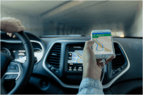
Smartphone Navigation
As the accuracy and features of GPS devices became better, smartphone manufacturers began looking at the technology behind them. Since most smartphones include a GPS chip, creating mapping apps was the logical next step.
However, smartphones rely on their providers network to use apps and location services. Government satellites, although useful for providing your location, are not used for providing maps or route planning software. Since the memory of a smartphone is necessarily limited, storing maps is not a viable option.
This means that smartphone route planning works well while you have access to your network, but fails when you leave your coverage area. This is one of the major reasons that dedicated GPS navigators have not been superseded by smartphone apps.
The future of route planning
allow you to upload and map multiple locations so that you can choose the most efficient route for your destination. There’s also the extra bonus to using a route planner. You can use the tool to search for multiple stops and make sure you save not only time in planning your route but also the time and gas you would have spent driving around.
Another great advantage route planners have is that they enable you to reload and update saved routes (you can plan up to 350 addresses per run), import address lists from your cloud storage or contacts from Excel, Text, CSV, the list is endless.
The factors mentioned above may soon send GPS navigation devices to the same place as paper maps. Useful in specific situations but superseded by better technology to give the consumer a better option at a lower price.